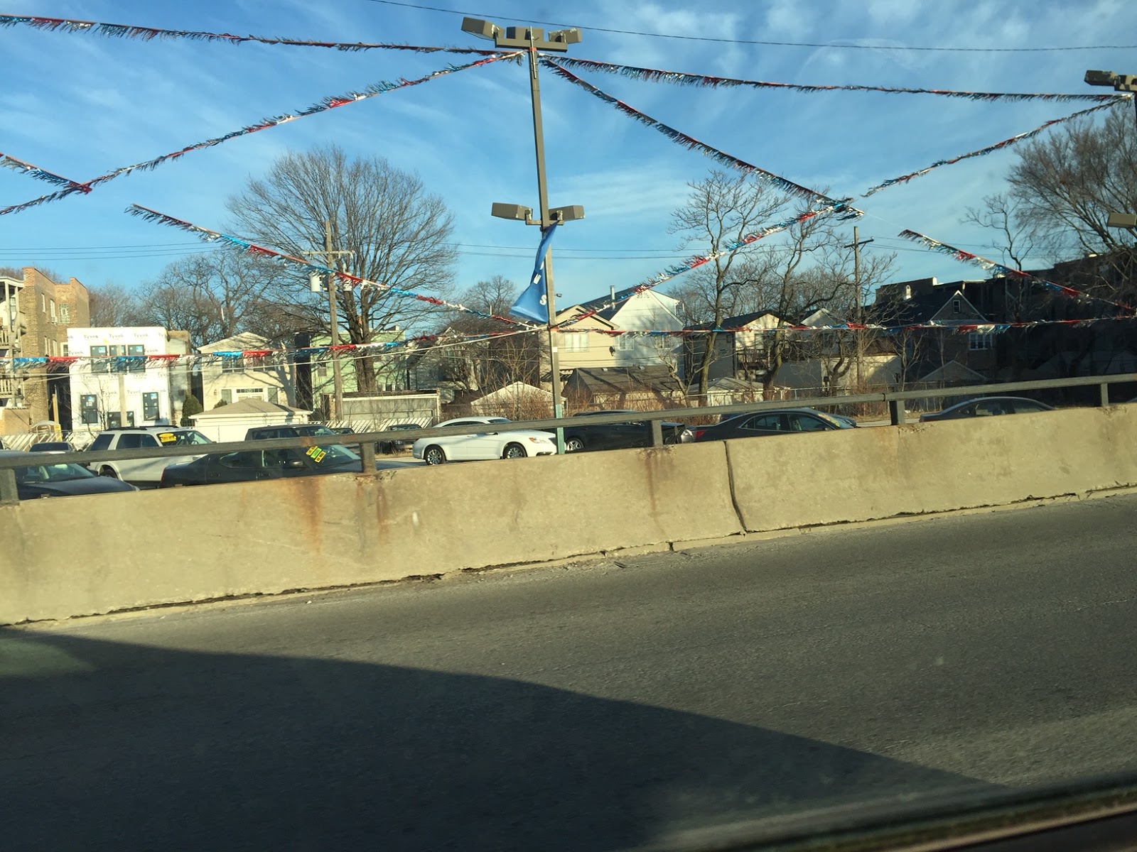
Of the tens of thousands of motorists who every day drive along the section of Interstate 55 that bisects the Chicago metropolitan area, (known to locals as the Stevenson Expressway), my guess is few of them consider that particular patch of concrete and its surrounding area as anything special, if they consider them at all. While it does provide a spectacular view of the city as you approach it from the southwest, to the uninitiated, the Stevenson, like most highways of its type, is nothing less than a brutal assault on the senses: a tedious landscape, flanked by uninspired shrubbery and architecture, littered with endless billboards, the typical detritus of our automobile/consumer culture. Some of the notable institutions the expressway passes are the largest single site jail in the Unites States, Cook County Jail, and the world's largest sewage treatment facility, the Stickney Water Reclamation Plant. That plant as well as the Chicago Ship and Sanitary Canal and the numerous industries served by it, produce the foul smell to which travelers on the highway have become accustomed. The rumble of freight trains, the blasts of their locomotives' horns, and the endless drone of rubber on the concrete pavement make for a sound landscape every bit as unwelcoming as the visual one. If that weren't enough, adding to the anxiety is the recent phenomenon of random shootings and other crimes taking place on the highway, not to mention the inherent danger of high speed motor travel, that contribute not a small about to the overall grimness of the place.
 |
| Heading eastbound on the Adlai E. Stevenson Expressway |
No, you will not find the Stevenson, (named after former Illinois governor and UN ambassador Adlai E. Stevenson), and its environs in the guidebooks, or on very many bucket lists of things to do in Chicago. As it has for centuries, the corridor exists as a place you pass through to get someplace else.
In spite of, or perhaps because of that, the Stevenson Corridor occupies the most historically significant geography in the entire Chicago metropolitan area. In fact, the very reason Chicago exists as all is because of the transportation corridor occupied now by the highway, that existed long before settlers of European descent set foot in the region.
If you're up on your Chicago history, or read my post on the Erie Canal, you understand why. In short, the land underneath the current superhighway, roughly between Ashland and Harlem Avenues, once served as the portage trail between the South Branch of the Chicago River, which flowed into Lake Michigan, and the Des Plaines River, whose waters eventually make their way into the Mississippi River and the Gulf of Mexico. That seven mile Chicago Portage was for Native Americans and the Europeans who followed them, the shortest, most accommodating barrier between the Great Lakes and the Mississippi River systems. Interest in the future development of Chicago goes all the way back 1673 when the explorers Louis Jolliet and Father Jacques Marquette, the first Europeans to set foot in the area, came up with the idea of building a canal that would connect the two waterways.
That canal eventually was built. Completed in 1848, the Illinois & Michigan Canal was much longer than Jolliet's conception, bypassing the Des Plaines, because that river was un-navigable for anything larger than a canoe for much of the year. Instead the I&M Canal made a 96 mile beeline straight to the Illinois River. Only traces of the I&M Canal exist today, it was made obsolescent not long after its completion by the advent of the railroad, and completely supplanted by the much larger Ship and Sanitary Canal. That notwithstanding. the I&M Canal was vital to the development of Chicago, as speculative investment capital in anticipation of its construction is directly responsible for turning a river trading post into a major city. Many of the same investors who built the canal turned their attention to the railroads and it followed quite naturally that Chicago would become the transportation hub of the Midwest.
As it has for centuries, the Stevenson Corridor continues to be a major transportation conduit for Chicago, the Midwest, and the entire nation. The expressway is the final leg of I-55 which begins in East St. Louis, Illinois. It supplanted the first leg of legendary of Route 66 which as the song reminds us, wound
...from Chicago to LA, more than two thousand miles along the way.In turn, Route 66 took much of the traffic off one of Chicago's most storied thoroughfares, Archer Avenue, originally an Indian trail, which followed the Chicago Portage and later the canal, all the way to Lockport, Illinois.
As storied as Route 66, is the railroad line that follows the route of the canals and the Stevenson Expressway into Chicago. The tracks, now the property of the mega-corporation known as BNSF, were once the domain of the Santa Fe Railroad, upon which their legendary passenger train the Super Chief entered the city after its 36 hour 49 minute run from Union Station in downtown Los Angeles. The Super Chief is gone but its tracks are still heavily used to carry freight trains into, out of, and through the city as well as Amtrak passenger trains headed to points west. Chicago's elevated rapid transit also makes a brief appearance alongside the Stevenson on old railroad right of way, in the form of the system's "Orange Line" connecting Midway Airport a mile south of the expressway, to Chicago's Loop.
Finally, the Ship and Sanitary Canal which opened in 1900, continues, as its name implies, to be a navigation canal as well as a transportation system for a much less pleasant substance, Chicago's sewage. That natural byproduct of human development once ended up in the city's water source, Lake Michigan, via the Chicago River. The construction of the sanitary canal provided the means by which the course of the Chicago River could be reversed from flowing into the lake, to the Mississippi River system via the river and canal, in the direction of the less than appreciative residents of downstream towns such as Joliet, Illinois.
While it may not be in the guidebooks, the Stevenson corridor remains as vital to Chicago's present, as much as it was to the city's past.
This week, my daughter and I visited three sites, all footsteps from the Stevenson Expressway, that played a tremendous role in the history of the Chicago Portage. As such they are three of the most important historical sites in the city.
This week, my daughter and I visited three sites, all footsteps from the Stevenson Expressway, that played a tremendous role in the history of the Chicago Portage. As such they are three of the most important historical sites in the city.
The Gap in the Divide
The City of Chicago sits on a continental divide, the St. Lawrence Divide to be exact, straddling two major watersheds, the Great Lakes/St. Lawrence, and the Mississippi River. A divide is simply the high point in a land mass between two bodies of water. Rain water falling on one side of the divide will eventually drain into the body of water on that side of the divide, while water falling on the opposite side will drain into the body of water on that side. When we imagine continental divides, we tend to think of great mountain ranges crossing a continent. As we have no mountains in Chicago, not even puny hills, the divide needn't be very high at all. The Des Plains River historically has flooded its banks to such an extent that in the most severe cases, flood waters from that river were high enough to breach the divide at its saddle, or lowest point, flowing over the divide and into the Chicago River, thereby temporarily reversing the flow of the Des Plaines. The historic saddle point of the St. Lawrence Divide where it intersects the water course in the city of Chicago, is located near 3100 W. 31st Street, in the neighborhood of Little Village. West of the divide there was once a large mass of flat land (even by Chicago standards), part of the Des Plaines River's flood plain, called Mud Lake. As you can imagine, Mud Lake was a poorly drained swamp that for part of the year was flooded enough to support canoes and other small boats. For the rest of the year Mud Lake was a flat dusty plain which made for relatively easy traversal. It was at this saddle point in the divide where Native Americans cut a notch into the land, breaching the divide, thereby creating during the rainy season, a continuous water path between the Chicago and Des Plaines Rivers.
The site of the historic saddle point of the St. Lawrence Divide in Chicago is now occupied by one of Chicago's newest parks, La Villita Park at 31st Street and Albany. That 22 acre park, dedicated in December, 2014, has an interesting history of its own.
 |
| The south entrance to La Villita Park at 31st and Albany in Chicago's Little Village Neighborhood |
Where La Villita Park now resides was once the site of a large industrial complex whose occupants included a company that sold and manufactured asphalt roofing products. In 1989, complaints from neighbors were received by the Illinois EPA about coal tar, a byproduct of the plant, that was present on their property. In 1993, the federal EPA got involved to force the owners of the property to clean up the site of the former plant. Community activists got into the act and working with the city, they turned what was once a toxic wasteland into a public park. You can read details of the struggle here, on the EPA website.
Part of the massive cleanup of the site involved covering the polluted ground with several feet of topsoil. The designers of the park put the new soil to good use, using it to carve berms that place the park several feet above the rest of its surroundings, creating a nice vista of the Little Village neighborhood to the west, and the aforementioned Cook Country Jail to the north and east.. I can't say for sure but perhaps in raising the park above its surroundings, its designers were alluding to the natural divide that the park sits upon.
As far as I could tell, there is no reference to the tremendous historical significance of the site at the park. Perhaps some day...
The Trail Head
Lack of recognition is not the case with The Chicago Portage National Historic Site, at the western end of Mud Lake and the historic portage trail. Located in the suburb of Lyons, Illinois, the site, dedicated in 1952 is designated as an "affiliated area", owned an operated by the the Forest Preserve District of Cook County, and listed by the National Park Service. By removing invasive species of plants such as European Buckthorn from the preserve, great pains have been taken to make the site look, feel and smell just as it did when eastbound travelers, first the Native Americans, then the likes of Father Marquette, Louis Jolliet and later, Rene-Robert Cavelier, Sieur de LaSalle, disembarked from their canoes and made the relatively painless over-land journey to the South Branch of the Chicago River, seven miles to the east.
From this website put together by the Friends of the Chicago Portage:
...nearly every site of Chicago’s origin’s has been destroyed. The remains of Fort Dearborn are buried under three layers of Wacker Drive, you can't visit DuSable & Kinzie's cabin, the Portage Trail is completely paved over and old “Mud Lake” is now the site of the world’s largest sewage treatment plant. The Chicago Portage National Historic Site is the only major remnant of the discovery and settlement of Chicago.
 |
| The last vestige of Portage Creek which once flowed into the Des Plains River. Today its flow has been reversed to divert flood waters away from the river. |
 |
| Water flowing through a swale after a heavy rain, into Portage Creek |
 |
| The flooded Des Plaines River after a heavy July storm |
 |
| The southern edge of the Chicago Portage National Historical Site and adjacent industrial land which one day will hopefully be the site of a visitor center. |
 |
| BNSF engines rumbling along the tracks marking the northern edge of the preserve, reminding us of the tremendous significance of the area as a transportation corridor. |
 |
| Composite photograph of a Bur Oak tree which as the didactic panel on the lower left explains, more than likely was passed by explorers Jolliet and Marquette as they were led through the Chicago Portage.  as the make their way along the Chicago Portage, greets visitors as they arrive at the Historical Site |
Birth of the Canal
The last stop on our tour of historic sites along the Stevenson Corridor was another new Chicago Park District Park, Canal Origins Park. The park is located on Ashland Avenue, at the fork in the South Branch of the Chicago River where the notorious Bubbly Creek (the dumping ground for a century's worth of effluence from the old Stockyards), branches off from the river. It was on this spot on the Fourth of July, 1836, where city fathers and investors stuck their shovels into the ground marking the start of construction of the Illinois and Michigan Canal.
The significance of the canal to the city cannot be underestimated. The timing of its conception and construction occurred during a very small window of opportunity that made the difference between success and failure for both the canal and the city. It was the completion of the Erie Canal in 1825 connecting Chicago to New York, and with it, capital investments from that city, that made construction of the I&M, and the tremendous growth of the city happen. Had there been a delay of a decade or so in breaking ground for the canal, railroads by then would have gained a foothold in the Midwest, making the canal unnecessary, Had that been the case, Chicago, with its inhospitable swampy natural terrain, could very well have been bypassed in favor of a city built upon more solid ground.
The workers who labored to build the I&M Canal were largely Irish immigrants, many of whom settled in the neighborhood of Bridgeport where the canal originated. The building of the canal meant that Chicago already had a significant Irish population at the time of the Great Potato Famine that devastated Ireland from 1845 until 1852. Naturally this city became a magnet for many if the 1.5 million people who emigrated from the Erin Isle after that calamity. Along with the opportunity to find work, and therefore survive, there was hardship as the Irish constituted the first underclass of Chicago. Many of them lived in shantytowns (or ghettos as we'd call them today), west and south of the Central Business District. Anti-Irish sentiment reached its peak after the Great Fire of 1871 which began in one of those shantytowns. A reporter for the Chicago Tribune years later confessed that he made up the story of the fire starting in the barn belonging to the O'Leary Family after the drunken Catherine O'Leary carelessly left a lit lantern in her barn after milking her cow. Despite the reporter's confession, Mrs. O'Leary never lived down the accusation and to this day is still blamed for the fire.
But the Irish did have a great advantage over the other immigrant groups who came to Chicago in the 19th century, they spoke English. Combined with strength in their numbers, and the Roman Catholic Church, Chicago's Irish gained a foothold into the organization of this city, first in the police force, then in politics. The Chicago Democratic political machine may not have been created by the Irish, but it was raised to an art by them and for a good long time, Bridgeport was the political geo-center of the City of Chicago.
Today in Bridgeport, folks living in million dollar homes in new developments along the river, rub shoulders with the descendants of the old 11th Ward, a neighborhood where vestiges of the past such as the ancient Schaller's Pump, tenaciously clung to life and are only now beginning to disappear. The old Stearns Quarry was converted into a spectacular new park now known as Palmisano Park, which uses its site, a combination of the quarry, and a large landfill hill to great effect.
Likewise, Canal Origins Park takes full advantage of its riverfront setting to create an experience that recreates the natural setting (at least as much as possible in the middle of the city), combined with the experience of present day Chicago. Unlike the Chicago Portage site, with the exception of the river, which itself has been greatly altered, everything at Canal Origins Park is the work of human hands. The design of the park is the concept of earth artist Michael Singer whose plantings of native wild flowers dominate the setting. Cutting through the field of wildflowers, (or as a disgruntled neighborhood visitor to the park called them on my first visit to the park ten years ago, weeds), Singer created a narrow path leading from the street to the river, that is meant to evoke the canal. Along the sides of this path are ceramic friezes created by artist Phil Schuster and students under his direction that depict the story of the canal. Sadly, vandals have done a number on the panels and most of the didactic signage, defacing many them with graffiti. and other means.
What you will not see at Canal Origins Park is any vestige of the I&M Canal itself, as the section of it at its source was replaced by the dredging of the Ship and Sanitary Canal in 1900.
 |
| Field of Black-eyed Susans, Rudbeckia hirta, looking south east toward a bridge that carries the CTA Orange Line over Bubbly Creek |
 |
| Looking toward South Fork of the Chicago River, popularly known as "Bubbly Creek". |
 |
| One man's wildflower is another man's weed. Silphium lacinatum, commonly known as compass plant. Kudos to my wife for the identification. |
 |
| Path through park evoking the Illinois and Michigan Canal whose origins this park commemorates. The path is lined with panels that tell the story of the river and the canal. |
 |
| Details of one of the panels depicting an early resident of the area, |
 |
| View from park of the fork of the South Branch of the Chicago River, looking toward Chicago Loop. The new Chicago Park District boathouse can be seen across Bubbly Creek on the right.
These three places may not be on most folks' bucket lists, but they are places that hold the key to what made Chicago, Chicago. For anyone with more than a passing interest in this town, they're well worth the visit.
|
Chicago Portage National Historic Site: 4800 S. Harlem, Lyons, Illinois
Canal Origins Park: 2701 S. Ashland Avenue
Canal Origins Park on Chicago Park District website
La Villita Park: Main entrance: 2800 S. Sacramento
La Villita Park on Chicago Park District website
A December 11, 2014 Chicago Tribune article on the opening of the park


 ,
,